Tucked between Grays Harbor and Willapa Bay is a little-known stretch of coastal road called the Cranberry Coast Scenic Byway. The shoulders of this road are home to historical sites, breathtaking landscapes and abundant wildlife making for a relaxing and fun adventure.
 The Cranberry Coast Scenic Byway, also known as Highway 105, is a loop off Highway 101 that, starting in Raymond, follows the Willapa River and Willapa Bay out to a hidden 20 mile stretch of Pacific coastline before looping back to 101 in Aberdeen.
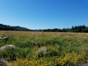
From Raymond, follow the north bank of the Willapa River as you take highway 105 out of the city. To the left are agricultural marshlands and a network of sloughs home to many migrating birds. On the right, just past mile post 10, you will pass the Smith Creek State Wildlife Recreation Area. This too is home to many varieties of birds and a great spot for bird enthusiasts to pull out the binoculars.
Another ten minutes of driving in and out of the estuary and forested hills and you will come into the Shoalwater Reservation. Pay close attention to the speed limit signs here. The newly remodeled Shoalwater Bay Casino will be on your right and a gas station to the left. If you’re interested in a jaunt down a side road, turn left on Tokeland Road. This will turn into Kindred Avenue and within a couple blocks you’ll see Historic Tokeland Hotel to your left. The hotel was built in 1885 and is the oldest resort hotel in the United States. It is still in use as both a hotel and restaurant. Each July the hotel hosts the popular Tokeland Wood and Arts festival.
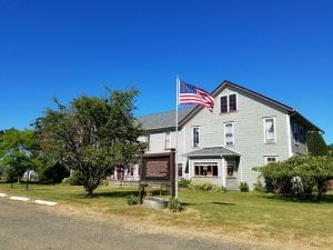
A little further down the road, Kindred Avenue comes to an end at Toke Point and the Tokeland Marina. This is a great place to catch some crab. Or, you can easily “catch” a few at Nelson Crab Inc. on your way back to the Cranberry Coast Scenic Byway. They have an assortment of fresh and canned seafood options to choose from.
Once back to the highway, continue heading north on the Cranberry Coast Scenic Byway and you’ll soon leave the Shoalwater Reservation. The speed limit will increase, but don’t start flying along just yet. About a mile out of the reservation is the not-to-be-missed, though unmarked, viewing area of Washaway Beach. You’ll spot the dusty pullout on the ocean side of the highway.
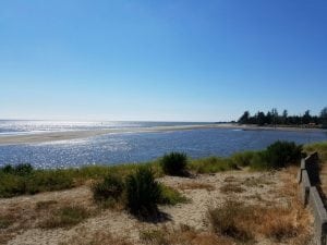
Washaway Beach, the site of the once busy little town of North Cove, has progressively been overtaken by the sea. Beginning in the 1920’s, homes, a school house, a lighthouse, a clam cannery and more have succumbed to the wrath of the ocean waves. Across the highway from this lookout is North Cove’s small, relocated Pioneer Cemetery. Drive down any of the streets of today’s North Cove and they all end in barricades and signs warning of unstable ground, a reminder that the sea will always prevail over land.
Driving out of North Cove toward Grayland you will pass a scattering of country stores, houses and a lot of lush forest. It is hard to believe that just blocks to either side, the scenery changes so quickly. To the left remains the Pacific Ocean and to the right lies the hidden gem of the Cranberry Coast: the cranberry bogs.
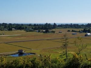
If you’re driving a vehicle made for the sand take a left at Grayland Beach State Park and head out to the beach. You can drive for miles here, collecting shells and driftwood along the way. Turn back onto the highway at the next access point at Cranberry Road. For a self-guided tour of the cranberry fields, cross the highway and follow the directions from Westportwa.com’s Cranberry Tour.
With your bog tour complete, continue north on the Cranberry Coast Scenic Byway. A spur of the highway continues up into Westport where there are plenty of restaurants, shops and interesting sites to choose from, the newest of which is Scoops Ice Cream. If you’re low on gas, fill up here as there are no gas stations between Westport and Aberdeen. The Hungry Whale usually has the best gas prices in town.
Head on back to Highway 105 and follow the signs towards Aberdeen. As you drive across the marsh out of Westport, look to the left. On a clear day you can see the Olympic mountains, a glorious sight. Continuing across the sloughs you’ll pass a few country stores along the way, each of them great for goodies and souvenirs.
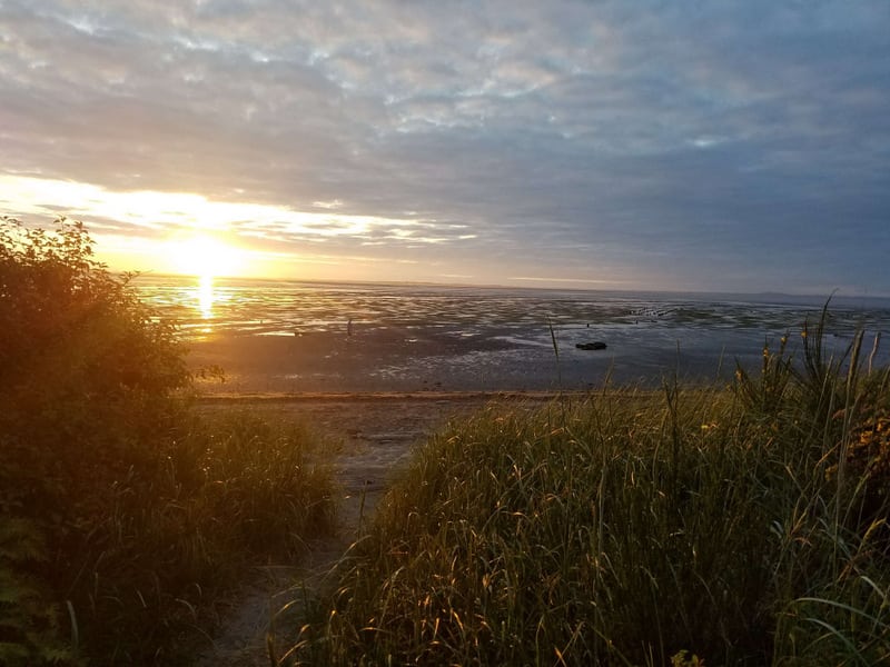
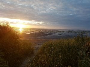
Just around the corner, as you come into Ocosta, you’ll see a sign for Bottle Beach State Park. It doesn’t look like much from the parking lot but the interpretive trail is short (.7 miles), ADA accessible and ends with a beautiful view overlooking the harbor’s oyster beds. The trail continues further into the preserve for those who are feeling adventurous but it is not paved beyond this point. Along the path you will spot birds, fish, elk and many other creatures. In recent years, the estuary has been replanted with native species and sunsets from here are amazing.
A little further down the road, just before the Ocean Spray plant, is the Johns River Dike Trail. In addition to wildlife and hiking, the Dike Trail has a boat launch and is open for hunting in season. It is also home to the historic Markham cemetery, a two-mile hike beyond. This cemetery’s oldest markers date back to the 1880’s and there is a memorial to those lost to the 1918 flu epidemic.
From the Ocean Spray plant you are only a fifteen-minute drive back to the South Shore Mall and junction of Hwy 105 with Hwy 101. This is the end of the Cranberry Coast Scenic Byway. This byway is a gem on Washington’s coast, perfect for a leisurely Sunday drive or to share the beauty of Grays Harbor with visitors. And, it’s one you can enjoy again and again.


